US-2 @ Cooks
.
M-94 South of Shingleton
.
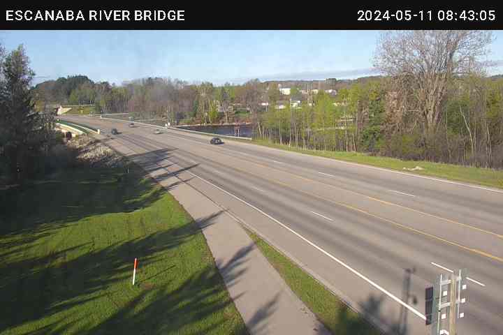
US-2 & 41 @ Escanaba River Bridge
.
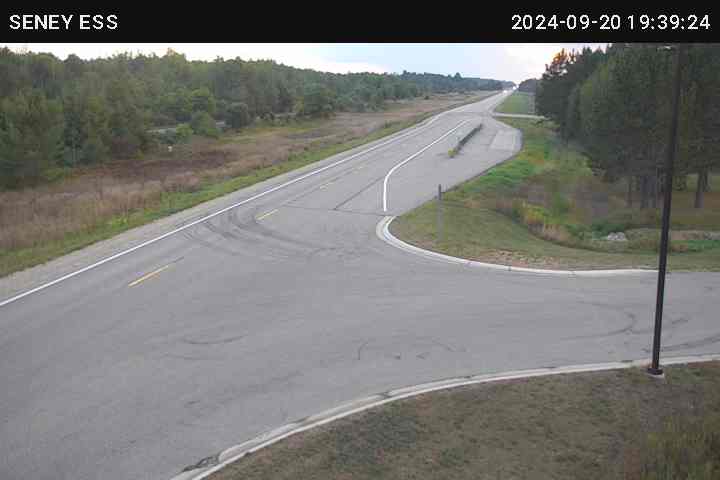
M-28 @ Seney Rest Area
.
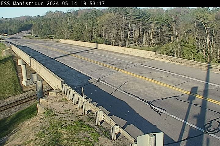
US-2 One Mile East of Manistique
.
M-28 @ Forest Lake Road
.
US-2 & 41 @ Rapid River
.
US-2 @ M-77 Blaney Park
.
M-28 Six Miles East of Harvey
.

Mackinac Bridge Looking South